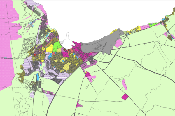
The General Plan Advisory Committee, a 25 member citizen panel appointed by Maui County Council in 2006, met 58 times between January 2007 and February 2009. After hearing the testimony of hundreds of citizens, GPAC recommended urban and rural growth boundaries and preservation areas for the draft Maui Island Plan maps. Download their maps here.”
To see the final Maui Island Plan maps adopted by Maui County Council in December 2012, see the Alliance of Community Association website.


